
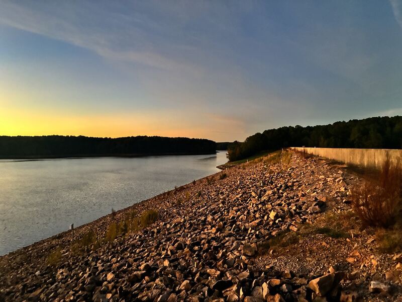
Below Falls Lake Dam, the Neuse slips between rocks and wooded banks. Above it, the view opens into a broad lake and an evening sky. Together, the two sides tell a story about Raleigh that reaches far beyond a pretty sunset.
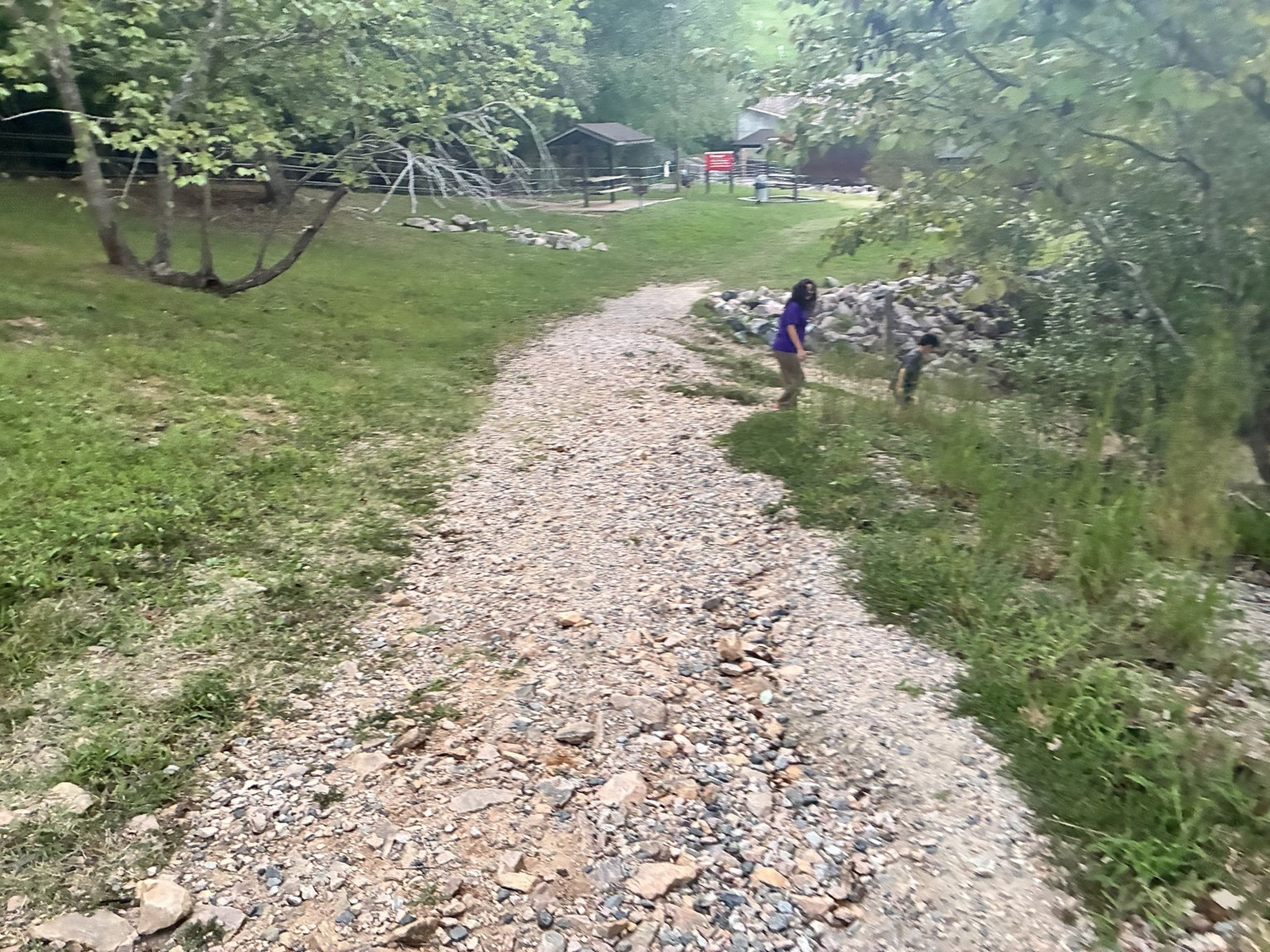
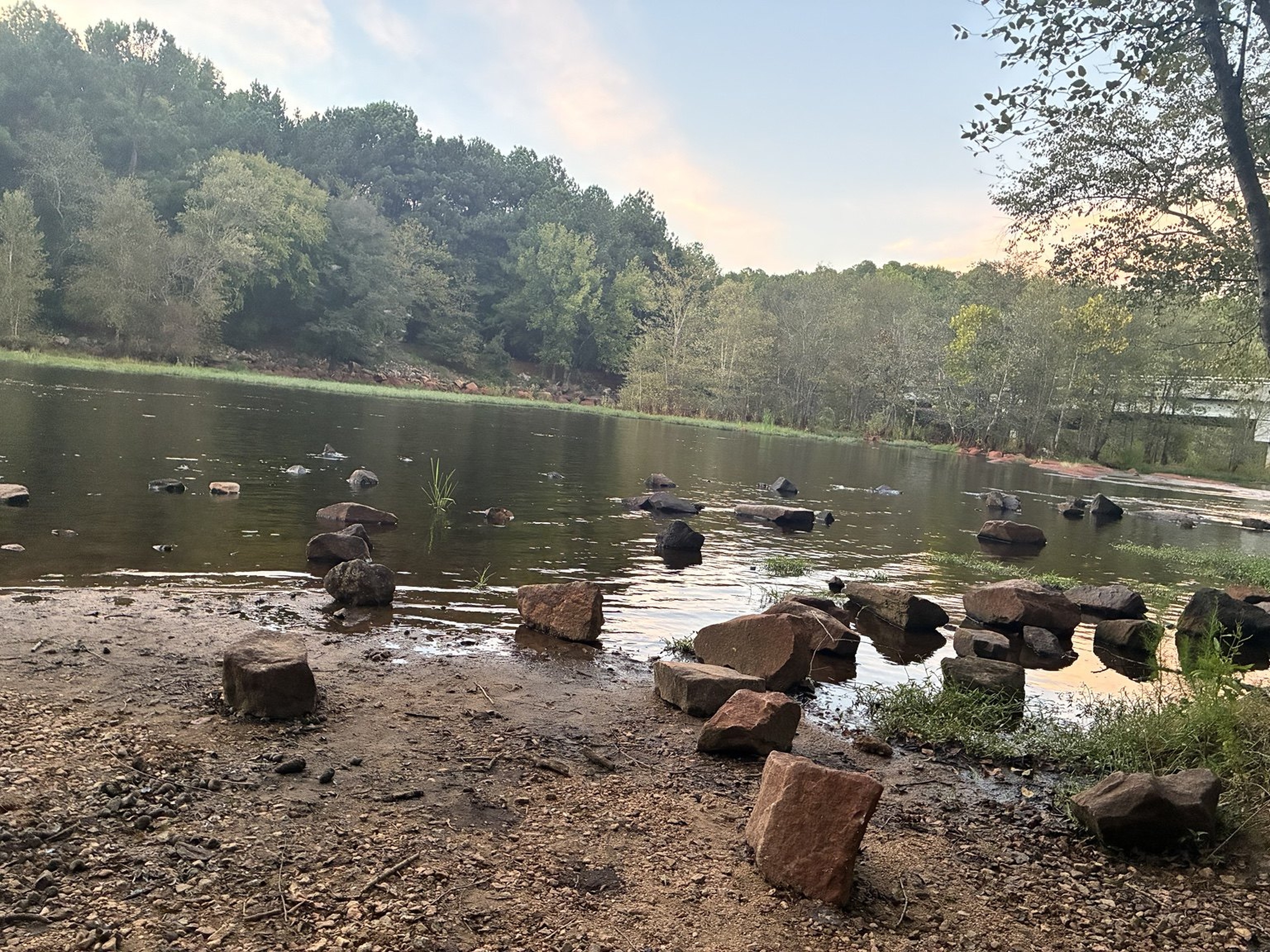
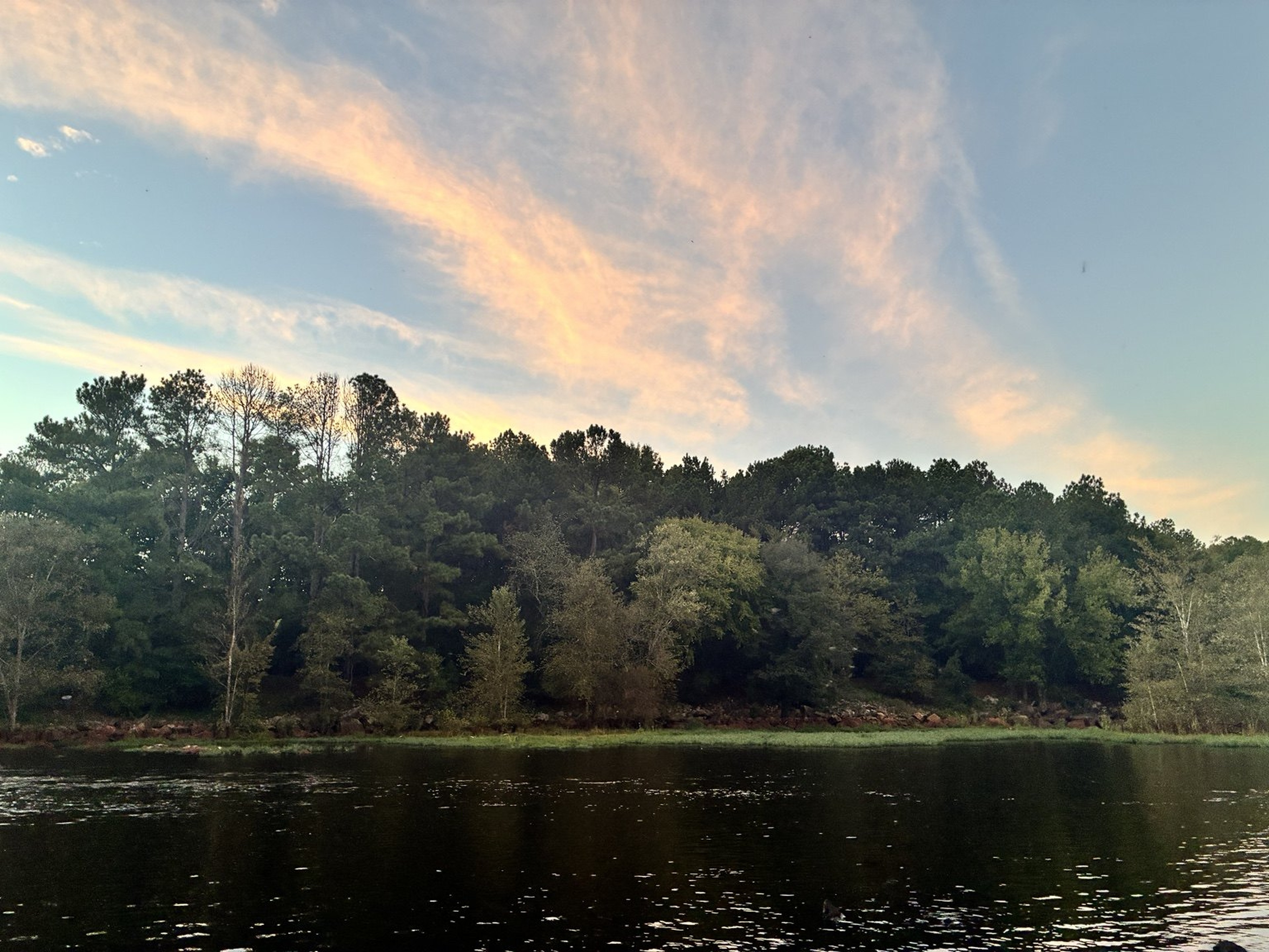
OurRaleigh’s photographs follow the changing character of this place: a gravel path beside the river, exposed stones catching the light, railings along the tailrace, a sweep of grass on the dam, and finally the lake fading from gold into blue. There is enough here for a quiet outing—and enough going on behind the scenery to make you look twice.
This is the Falls Lake Dam area near Raleigh and Wake Forest. Falls Lake is a reservoir on the Neuse River; the river continues below the dam. The photographs show both the lake and the downstream area, so a little orientation makes the visit much easier to understand.
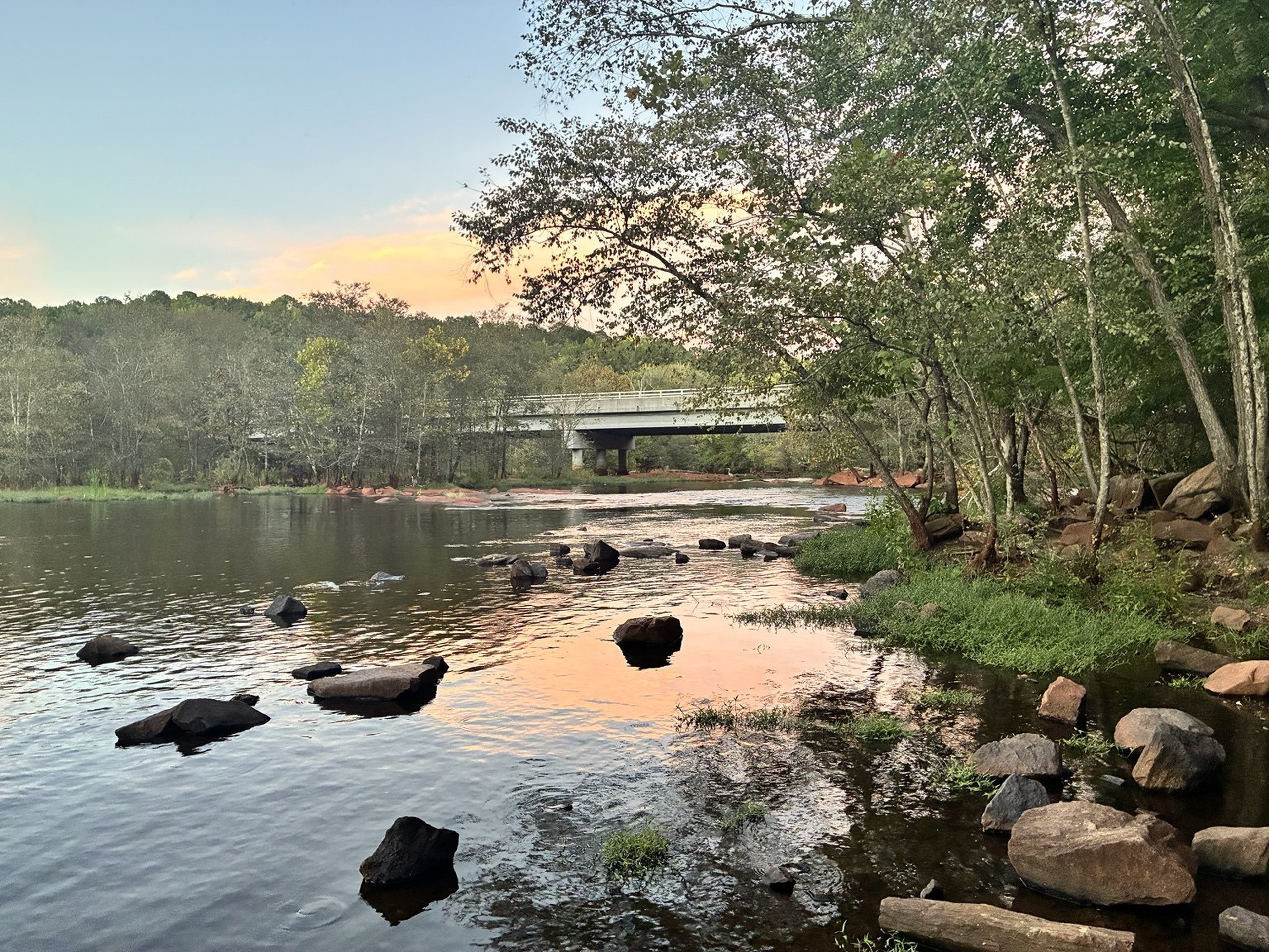
Two sides of the same water
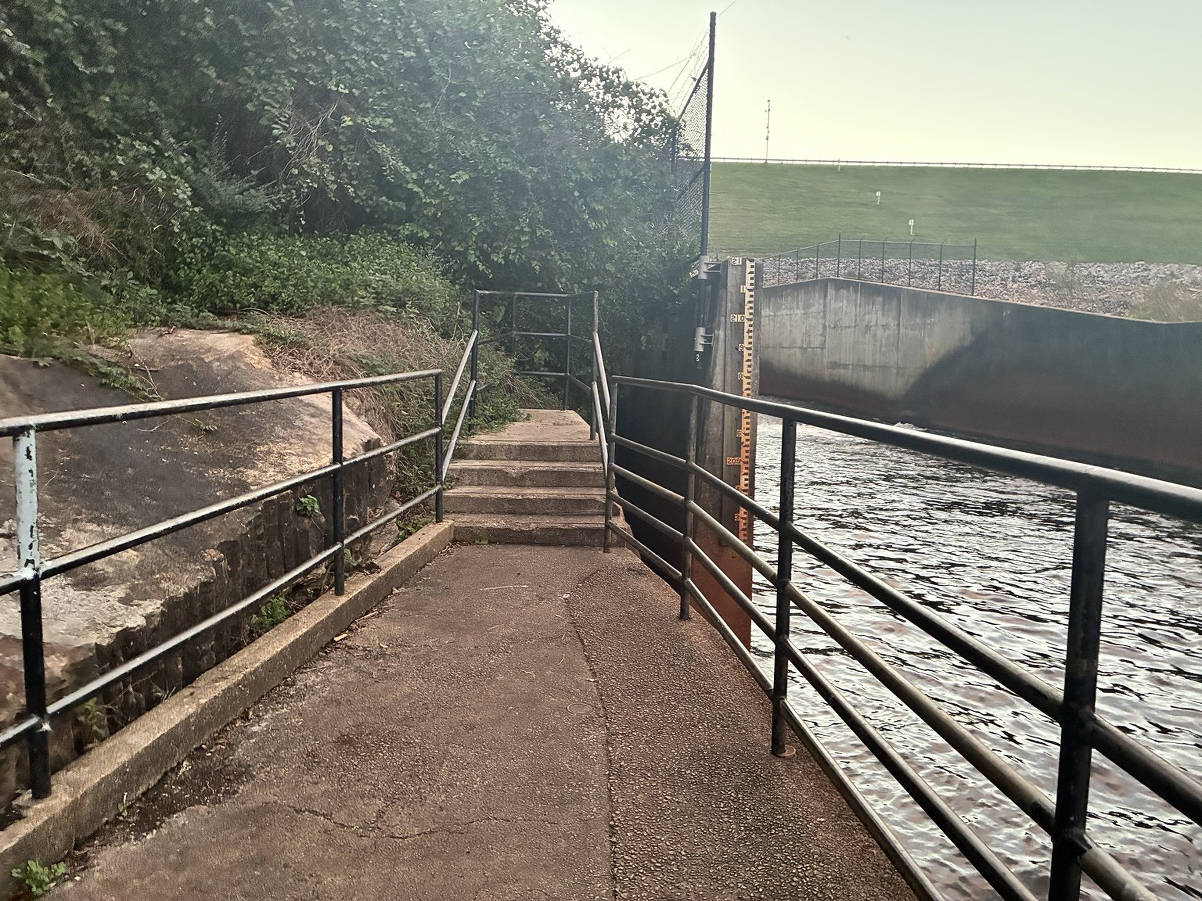
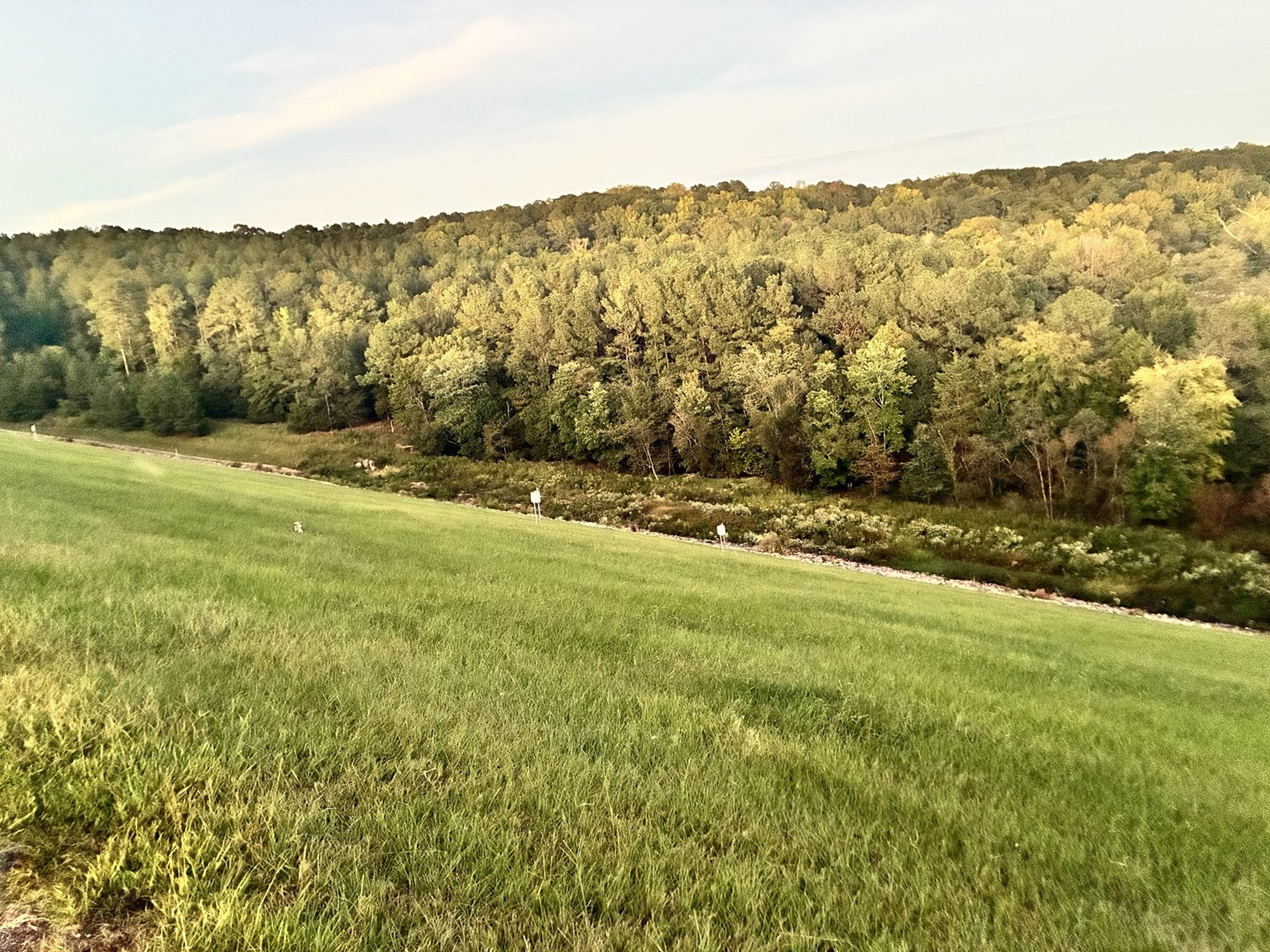
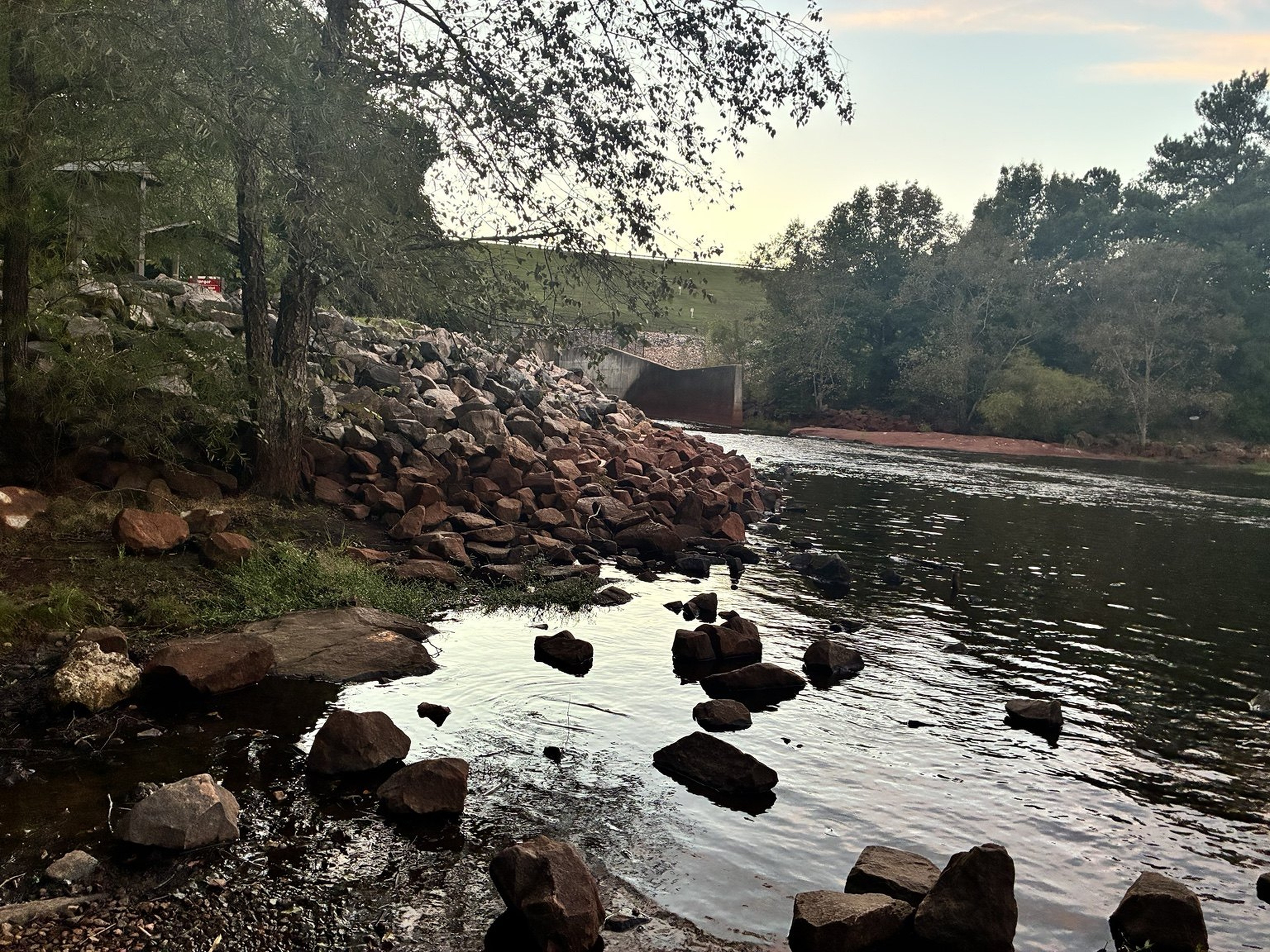
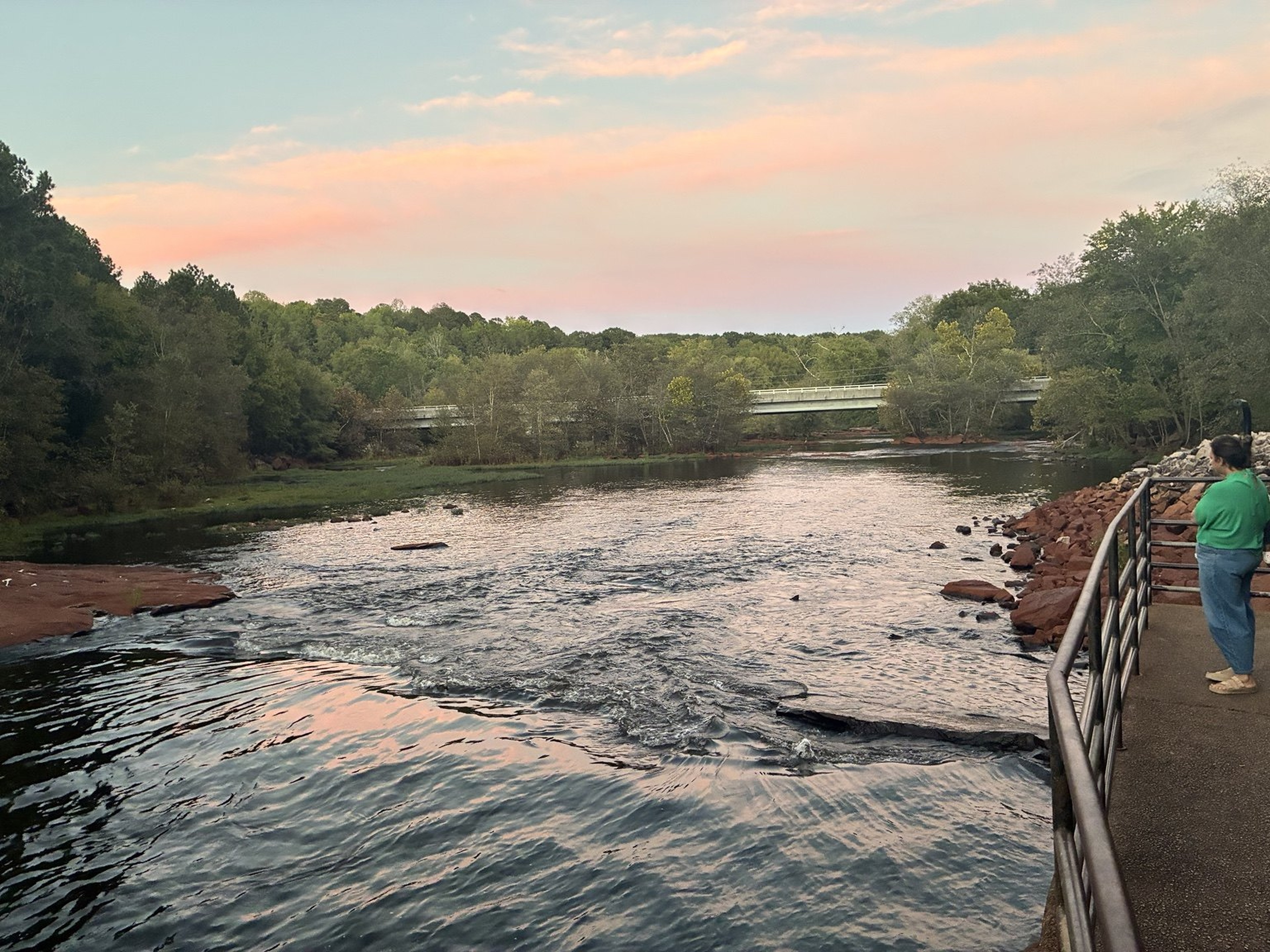
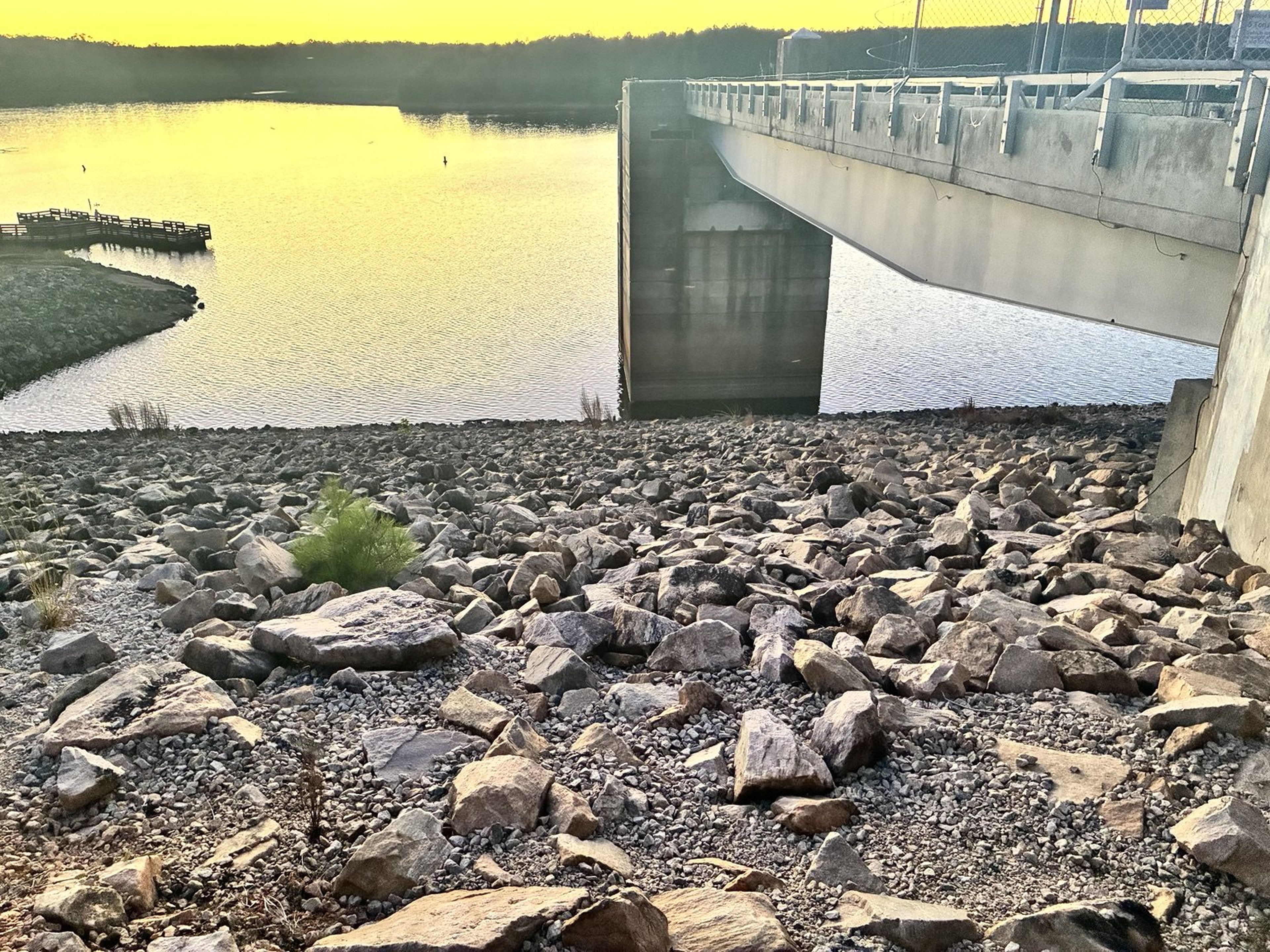
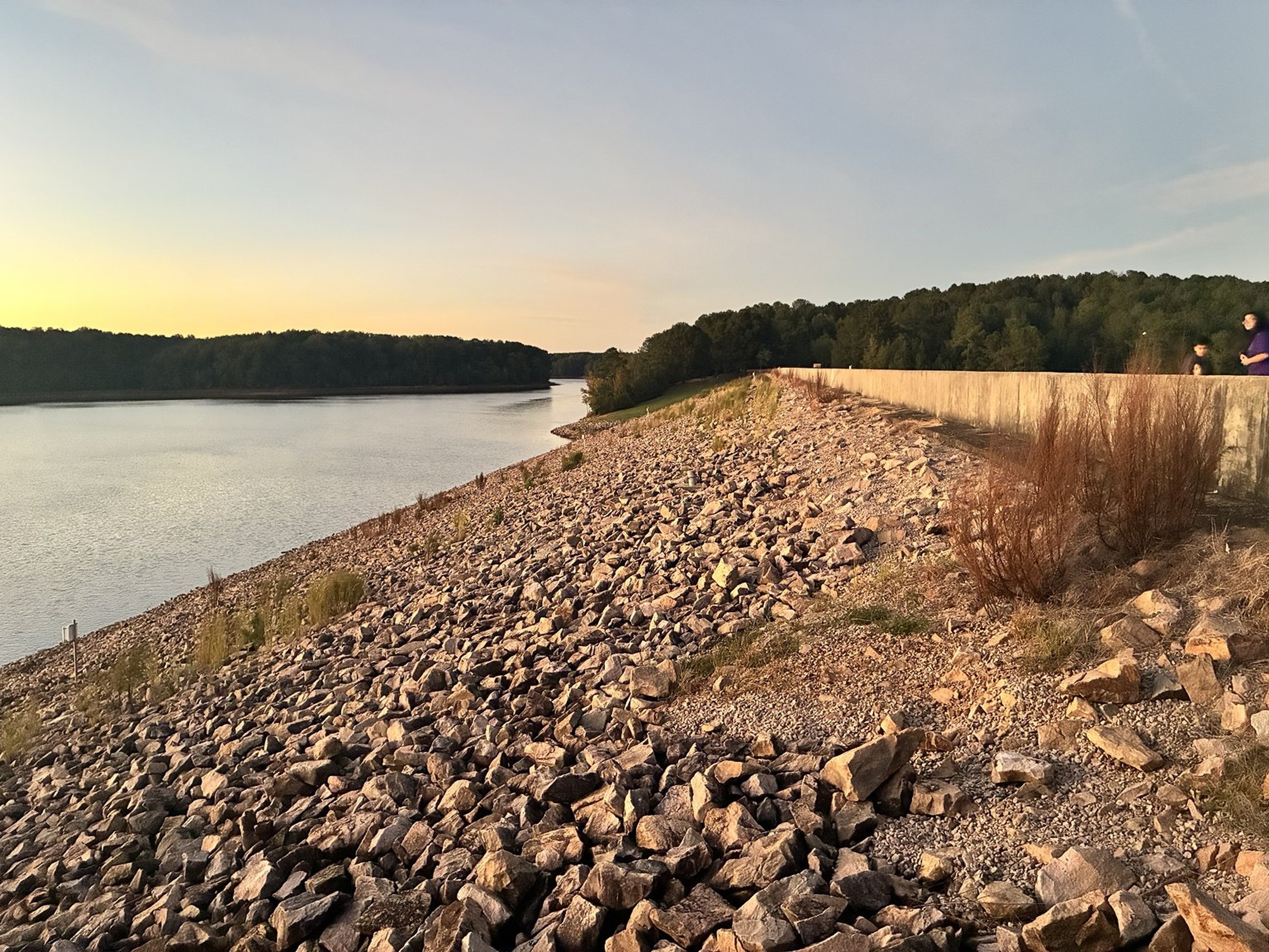
The lake side feels expansive. Water stretches toward a low tree line, while the stone-covered slope of the dam fills the foreground. On the downstream side, the view becomes more intimate: railings, a narrow channel, riverbank trees and the visible movement of water.
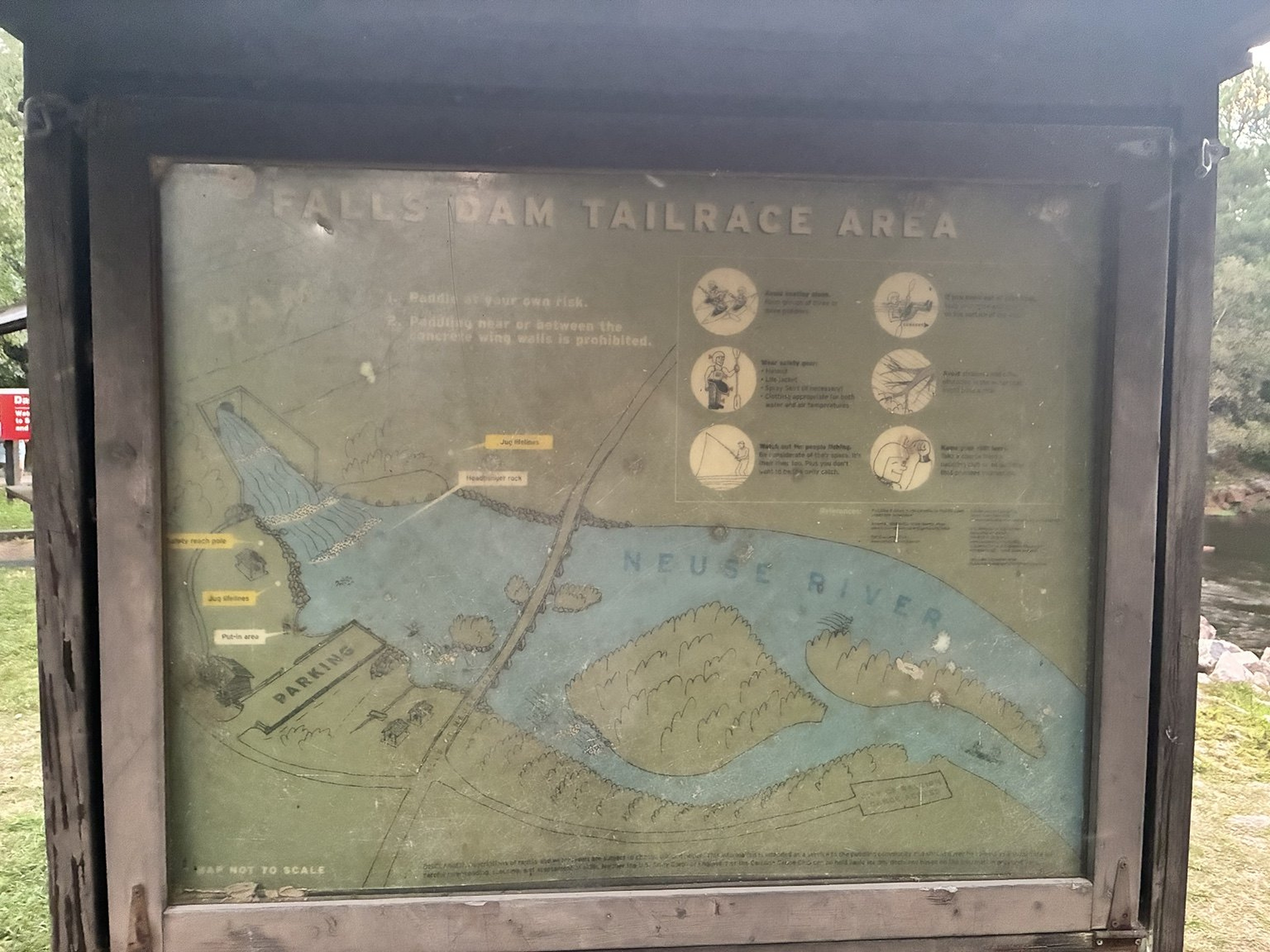
The channel below a dam is called the tailrace. Here, it is part of an operating water-management system. Water stored in the reservoir is released downstream into the Neuse. A peaceful-looking surface is only a snapshot; it does not tell you how safe the current is.
Falls Lake is Raleigh’s primary drinking-water source. The city distinguishes between water reserved for supply and water held for downstream releases—a useful reminder that the lake serves people both around Raleigh and farther along the river.2
USACE describes Falls Lake as more than 12,400 acres of water. Falls Lake project information.
The Falls Lake project was completed in 1981 for flood control, water supply, water-quality control and recreation. That history changes the view: the broad embankment and concrete structures are part of the infrastructure that helps the region manage its water.8
A place to slow down and look
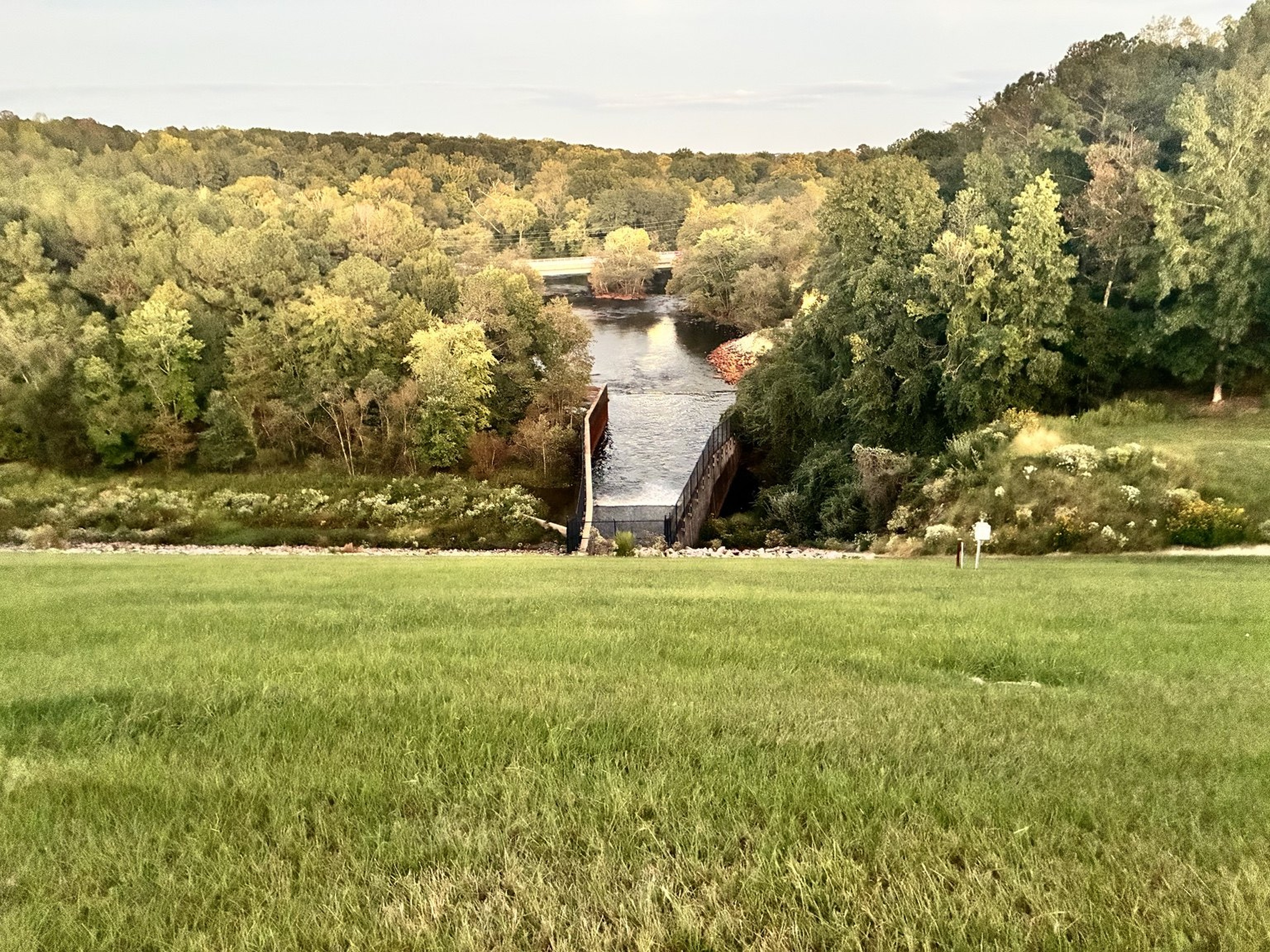
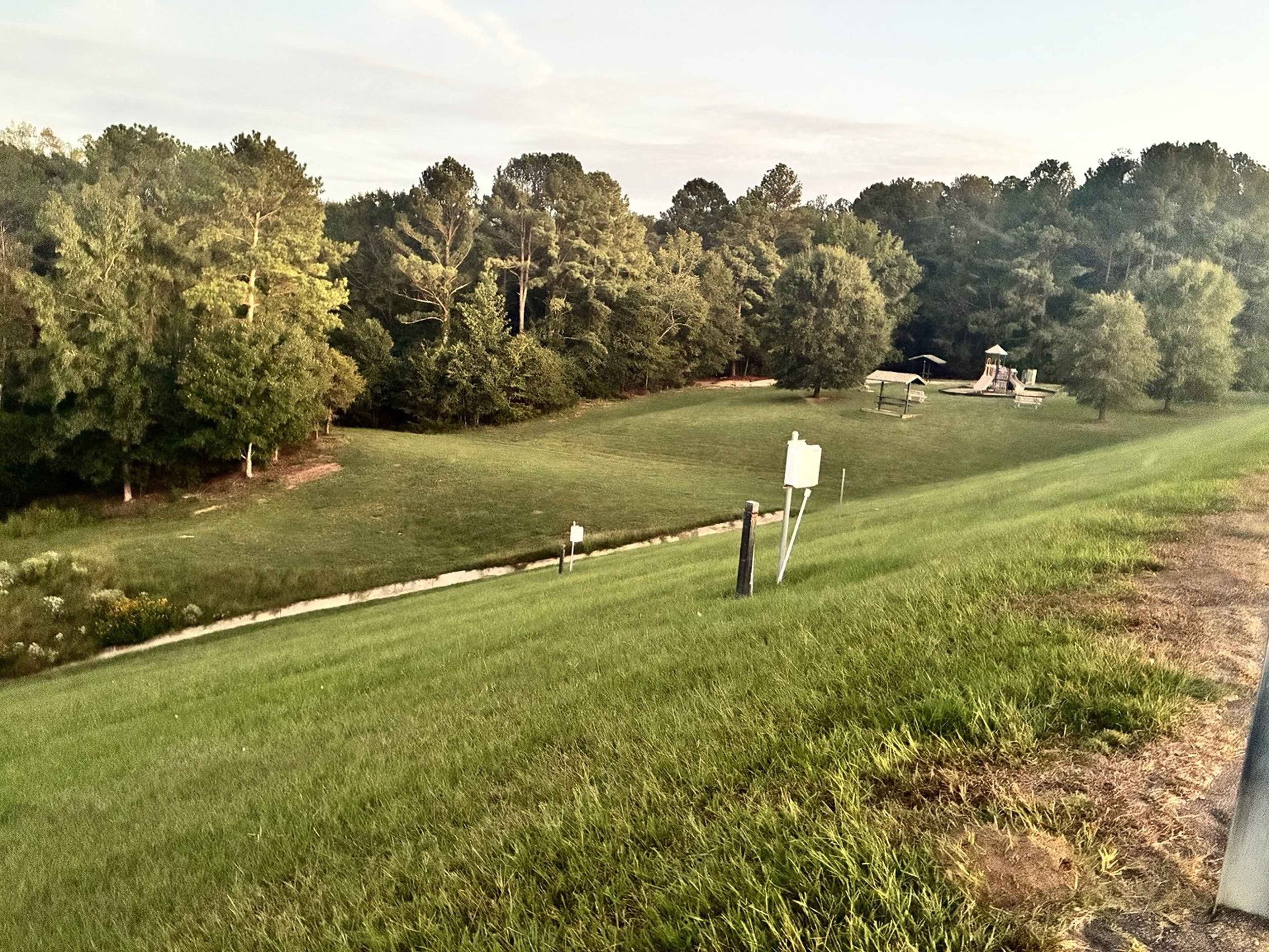
Much of the appeal is in the small changes between viewpoints. Near the river, rough stones interrupt the reflections. Along the railings, the dam’s scale becomes more obvious. Higher up, the grassy slope opens the view, and the lake brings back the wide horizon.
For a first visit, give yourself time to notice those differences. You do not need to turn it into a long hike. A short walk on an open public route, a pause at a designated viewing area and a few photographs can make a satisfying outing.
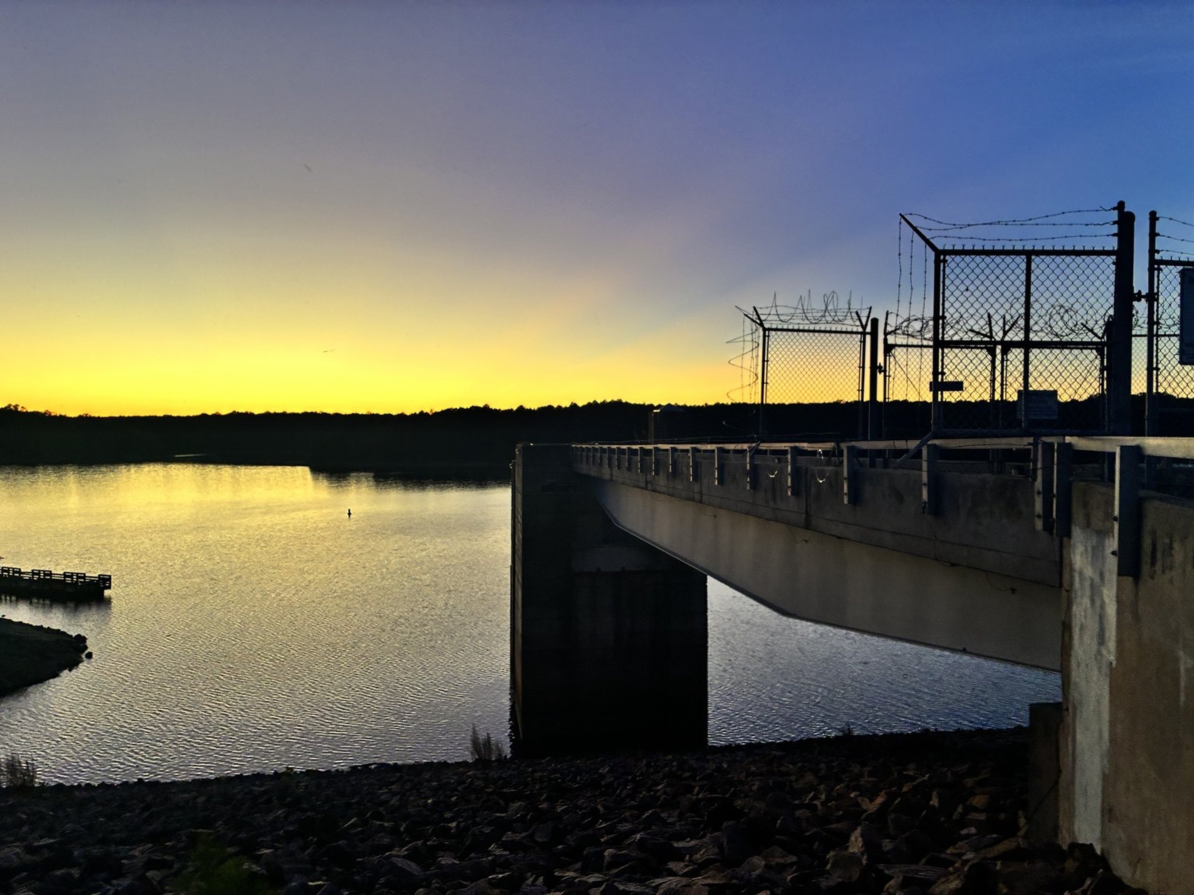
OurRaleigh’s sunset images are especially strong because they keep the setting in the frame. The rocks, tree line and dam explain where you are; the sky supplies the color. Those same elements make good subjects for anyone visiting with a phone camera.
Choose the right entrance.
“Falls Lake” covers a large area. The dam, the river launch and the state recreation areas are different destinations. Set your directions for the experience you want.
Dam & visitor information
USACE Visitor Assistance Center
11405 Falls of Neuse Road
Wake Forest, NC
USACE lists the center as open daily, 8 a.m.–4:30 p.m. Call 919-846-9332 to confirm access and current conditions. These are visitor-center hours, not a promise that every nearby gate follows the same schedule.1
Directions to the visitor center
Greenway & river launch
Falls Dam river access
12098 Old Falls of the Neuse Road
Wake Forest, NC
Raleigh lists parking, including ADA parking, at this access. The city’s directions distinguish the Neuse River Trail entrance from the nearby Corps tailrace lot, which provides access to the dam’s base.3
Follow the signs for your chosen access once you arrive. A map pin is not permission to enter a closed area. Check local gate signs before starting a sunset visit.
A relaxed first-visit plan
Allow roughly 60–90 minutes, depending on which public areas are open and how long you stop for photographs. This is a suggested visit plan, not a measured walking loop.
Start with orientation. Check the posted map, gate times and notices. Decide whether you are beginning at the dam/visitor-center side or the river and greenway access.
See the river from dry ground. Use open public paths and designated viewing or fishing areas. Look for the changes in flow and the contrast between the wooded banks and the dam.
Leave time for the lake view. If the relevant public access is open, enjoy the reservoir from a permitted viewpoint. Use signed routes between areas; do not shortcut down the grassy or rocky dam slopes.
Finish before closing. For an evening outing, plan the return around posted gate times and fading daylight. The sunset is the bonus, not a reason to get locked in.
A small photography tip
Arrive with daylight to spare. Look for reflections and use the shoreline as a leading line from a permitted path or viewing area. Keep your footing on a stable surface, and leave time to return before your access area closes.
A longer walk starts nearby
The Neuse River Greenway is a paved, 27.5-mile trail, with distance measurements beginning at Falls Lake Dam. Raleigh lists daily trail hours as dawn to dusk. For a short outing, choose an out-and-back distance that suits your group.4
Check the trail before planning a long ride. At the September 25, 2026 research check, Raleigh listed a closure between River Bend Park and Buffaloe Road Athletic Park, around mile markers 10–11.5, with no trail detour. That is farther downstream from the dam, but it matters if you plan to travel the corridor. Read the current greenway alerts.
Beautiful water. A real warning.
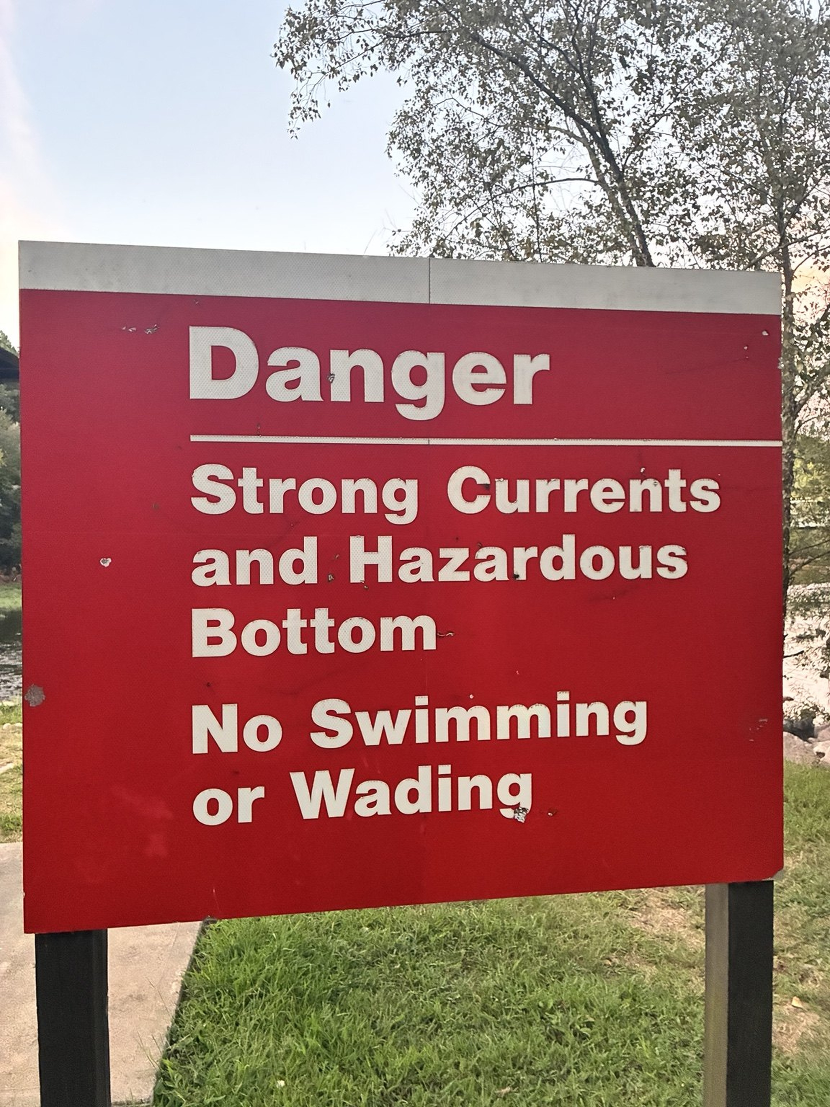
No swimming or wading here.
The sign in OurRaleigh’s photographs warns of strong currents and a hazardous bottom. It explicitly prohibits swimming and wading. Treat the tailrace as a place to view the water from shore, with children kept close and away from the edge.
A photograph cannot establish safe water depth or current. Stay behind barriers, respect closure signs and avoid the rocks at the water’s edge. For paddling elsewhere along the designated blueway, Raleigh advises wearing a life jacket and avoiding high-flow conditions.3
If swimming is the goal, plan a separate trip to a designated Falls Lake swim beach. NC State Parks lists public beaches at Beaverdam, Rolling View and Sandling, subject to seasonal availability. They are separate access areas, with their own hours and entry arrangements.7
What families should know
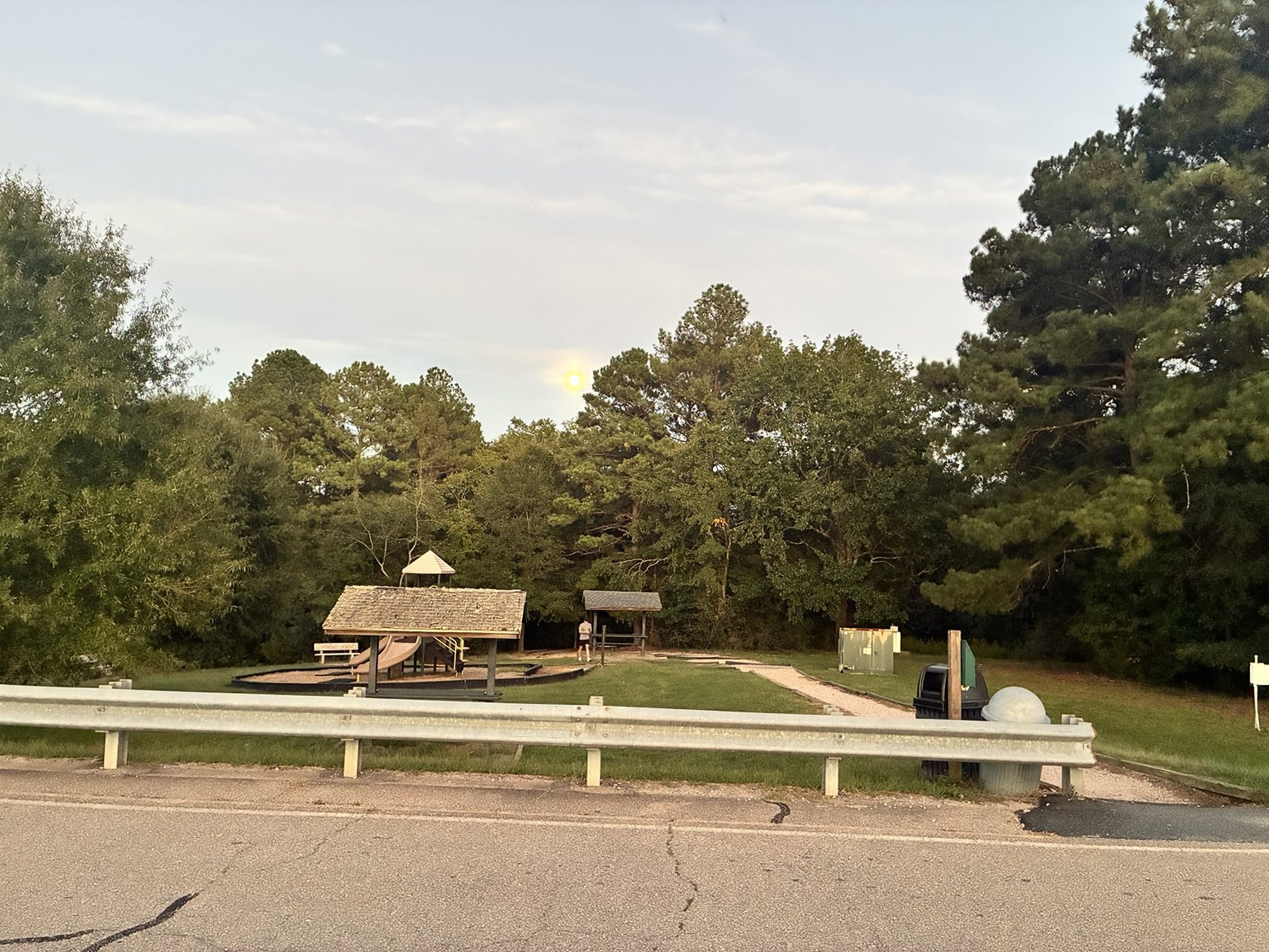
The photographs show a picnic shelter and recreation space near the river, but the water’s edge requires active supervision. Choose a dry, open area for a break and keep the river itself out of the play plan.
For strollers or visitors with limited mobility, begin by checking the specific access you intend to use. USACE lists an accessible fishing pier at Falls Tailrace, and Raleigh lists ADA parking at the Falls Dam river access. That does not mean every shoreline path or route between viewpoints is accessible.63
Our photographs include gravel, uneven stones and slopes. If step-free access or a nearby restroom is essential, confirm the route and facilities with the site before leaving. Bring drinking water and anything your group needs rather than depending on facilities that have not been confirmed.
Questions before you go
Is Falls Lake the same thing as the Neuse River?
Falls Lake is the reservoir formed by damming the Neuse. Below Falls Lake Dam, the river continues downstream. This photo story includes both sides.
Can we swim or wade below the dam?
No. The photographed tailrace sign says no swimming or wading and warns of strong currents and a hazardous bottom. Use a designated swim beach at a separate recreation access if you want to swim.
Does a sunset visit mean the area stays open after dark?
No. Raleigh lists the greenway as dawn to dusk and river access sites as sunrise to sunset. Other nearby facilities can have their own gate times. Read the sign where you park and plan to leave before closing.
Is there an admission or parking fee?
A current dam/tailrace fee schedule was not verified for this article. Check with USACE before visiting. Do not assume the entry fees at the separate state recreation areas apply to the dam, or vice versa.
Can I fish here?
Falls Tailrace is a designated fishing area. Check current North Carolina fishing-license requirements, limits and posted restrictions before casting, and use permitted fishing locations.
Is this a good place for a quick outing?
Yes, if you enjoy water views and photography. Choose a short public route and a few viewpoints instead of trying to cover the entire lake area. The 60–90-minute plan above is an editorial suggestion, not a timed or tested route.
Let the evening linger.
A short original lake-view clip by OurRaleigh.
OurRaleigh’s photo journal
A curated selection from the original collection. Tap any photograph to see its 4K version.
Sources and updates
Original photography and video: OurRaleigh. Official information checked September 25, 2026. Hours, access and closures can change; follow current on-site signs.
Raleigh Water • Water supply ↗
Raleigh Parks • River access ↗
Raleigh Parks • Neuse River Greenway ↗
Raleigh Parks • Current greenway alerts ↗