
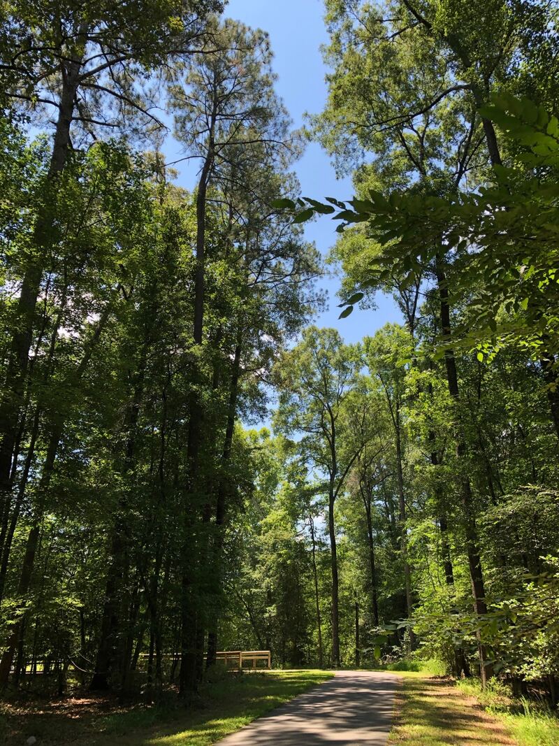
Raleigh’s Neuse River Greenway Trail is a large route that works just as well for a small outing. The City describes 27.5 miles of paved trail, with river views, wetland boardwalks, interpretive signs and stretches alongside agricultural land.
Choose a trailhead and a turnaround point before setting off. A short out-and-back walk or ride lets you enjoy one section without committing to the whole corridor. The official map identifies access points and connections to other trails.
Check the greenway alerts first. The City’s trail page currently links both an alert and a closure notice, so this guide is not a claim that every segment is open. Avoid building a route around a closed connection or assuming an old photo shows today’s conditions.
Trails are listed as open from dawn to dusk. Bring what you need for the distance and weather, share space considerately, and follow posted signs. The photograph is an archival 2018 view of the greenway, not a current conditions report.
Source information checked September 24, 2026. Photos are archival; follow the official source for current details.